
Part of the Water Journey Camps was the creation of GIS Story Maps that feature camper's photography, words, and artwork. GIS Story Maps combine interactive maps and map making with multi-media story telling. To see the GIS Story Maps from the last two camps, go to the pages labeled Rain Story Map and Drink Story Map. Staff and campers used the maps throughout the week to plan and reflect on the journey. At the final exhibit reception, campers operated the interactive screen to show their families the story maps they helped create, and to tell them the story of the journey.
Researcher and camp model developer, Jonee Kulman Brigham, presented on the use of GIS Story Maps in the Mississippi River Water Journey Camps at the ESRI Education User Conference in San Diego, CA on July 8th, 2017. This is a conference for educators engaging youth with Geographic Information Systems (GIS) to share methods and ideas. Presentation at this conference was made possible by camps partner U-Spatial.
Jonee highlighted several ways the use of GIS Story maps enhanced the camps and served as part of the design of the experience.
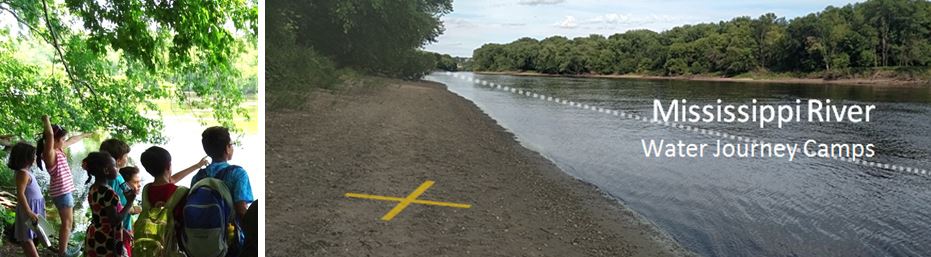
 Part of the Water Journey Camps was the creation of GIS Story Maps that feature camper's photography, words, and artwork. GIS Story Maps combine interactive maps and map making with multi-media story telling. To see the GIS Story Maps from the last two camps, go to the pages labeled Rain Story Map and Drink Story Map. Staff and campers used the maps throughout the week to plan and reflect on the journey. At the final exhibit reception, campers operated the interactive screen to show their families the story maps they helped create, and to tell them the story of the journey.

No comments:
Post a Comment