 |
| Part of GIS Story Map showing the Metropolitan Waste Water Treatment Plant We poured our water out across from it's effluent channel. |
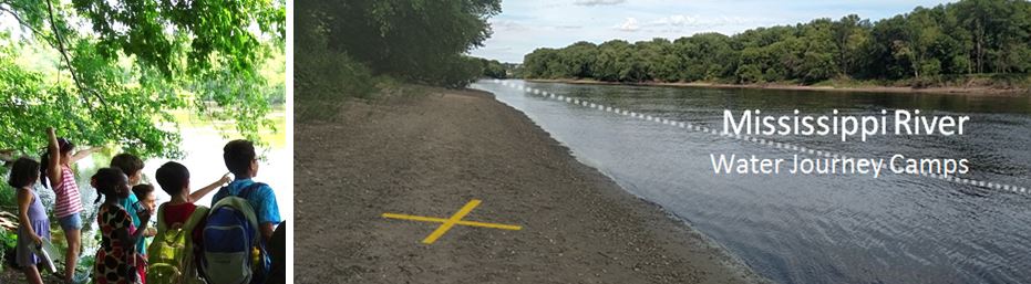
Today, we get to help the river too. There is a place on campus called Sarita Wetland, that helps clean the water before it goes to the Mississippi River. That means all the people downstream of us will have better drinking water and so will the fish and eagles.
We planted four kinds of long-rooted native plants that will help water soak into the earth. They will also help pollinators like bees, and other animals, and of course, they are beautiful.

 |
| Olivia and Riya making memory maps |
 |
| Riya's memory map of activities at River Park and the St. Paul water intake. |
 |
| John selecting and captioning his favorite of his photographs with Jess, on the camp team. |
No comments:
Post a Comment